

Image


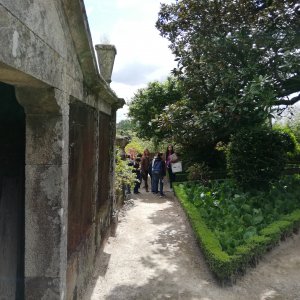
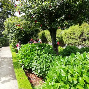
In this activity, students explore the gardens of the Palace of the Counts of Anadia (Mangualde) by playing a game that involves locating certain points throughout the gardens using Google Earth. Students follow predefined instructions on a map and, when they find QR codes placed at different spots in the gardens, they scan them using the Actionbound app previously installed on a tablet. At each marked point on the map, students are challenged to answer Science and Math questions related to fauna, flora, and calculations of area, perimeter, volumes, greatest common divisor, among other topics, for example:
Calculate the volume of water in the fountain;
Calculate the area of the camellia flowerbed;
Do you consider the olive tree important for our society? Explain using different points of view.
1 notebook (paper) per group
1 odometer
3 tablets with the game installed
3 tablets with the Google Earth kmz file opened
3 tablets with Google Keep and a compass app (example app – Pro Compass)
1 laptop
1 digital magnifier TTS Easyscope
3 measuring tapes of 3 meters each
The development of this activity was made possible thanks to the cooperation and availability of the managers of the Palace of the Counts of Anadia during the various production phases. Several visits to the palace gardens were required, accompanied by a Botany expert, to survey the terrain, identify relevant plant species, define areas to explore, take photographs, georeference locations, and place QR codes at certain spots to create a “game” using the Actionbound platform.
It was also necessary to install the Actionbound app on the tablets, the Google Earth kmz file, Google Keep, and a compass app.
All the scenarios to be explored in the game were previously created using the Actionbound app.
Please download the following files:
Introduction to the Activity
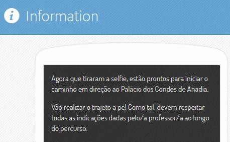
Students are explained that they will participate in a game in the gardens of the Palace of the Counts of Anadia using different types of technology, particularly Google Earth and Actionbound.
The Google Earth kmz file with the identified stopping points is displayed on the classroom board, as shown in the following figure.
Students are informed that the activity will be done in groups, and each group should follow the points marked with their group’s assigned color. On the map, there are also “neutral” (white) points, which means all groups must visit these points and complete the corresponding activities.
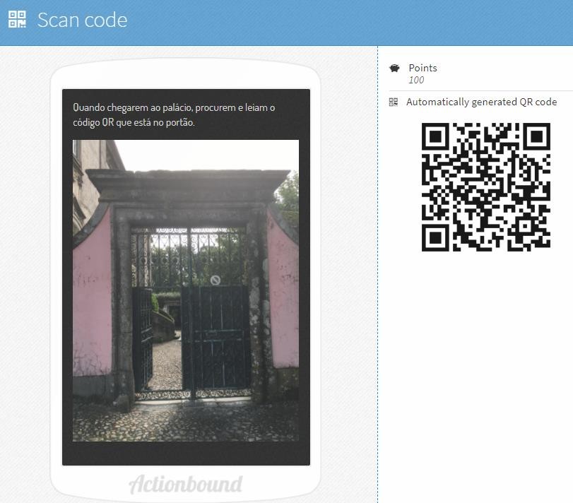
The Actionbound game is introduced to the students, and it is explained that they should follow the instructions appearing on the screen, as shown in the figure below.
In the game, whenever information appears indicating they can move on to the next point, they should consult Google Earth and the corresponding color to know where to go.
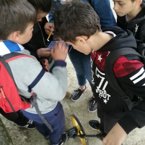
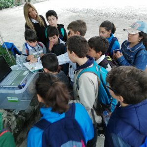
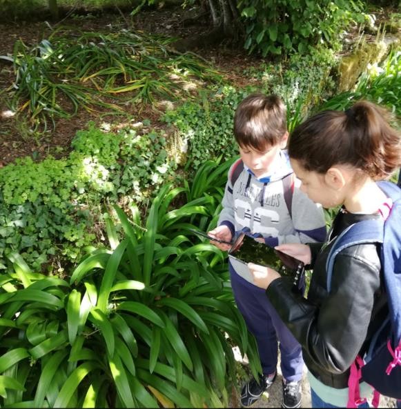
Each group is provided with a tablet containing Google Keep because, along the route, they must take photographs of different plants and identify them. At various points in the activity, students should use the compass app installed on the tablet to navigate to the next point on the map, use the odometer as a measuring tool to solve a math problem, and a measuring tape to measure the height of a water tank.
After this introduction and explanation of the work to be done, the class is divided into 3 groups, and the mentioned materials are distributed.
Development of the Activity
After distributing the materials, one member from each group is asked to open the Actionbound app on their tablets and scan the specific QR code for their group projected on the board.
Note: The teacher should project the specific QR code for each of the 3 created games—meaning there are 3 different QR codes (one per group)—which include similar questions corresponding to the white points on the map (see Figure 1).

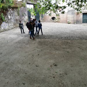
From this point, the game starts in the app. Students move from the classroom to the Palace of the Counts to continue the “game,” guided by the instructions from Actionbound and Google Earth (kmz files).
Each group is accompanied by a teacher who guides the students as needed and asks various exploratory questions about the different points. These questions help students explain, clarify, interpret, or evaluate responses to the different prompts from Actionbound, as well as share the necessary scientific knowledge related to the teacher’s questioning, such as:
Conclusion of the Activity
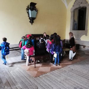
To conclude the activity, students observe some leaves collected along the route near the plane tree at the entrance of the Palace of the Counts gardens using a digital magnifier and discuss their observations with classmates and teachers. After this observation, a group photo is taken with all participants involved in the activity.
Actionbound. (2019). Action bound: Collaborative learning app. Actionbound. Consultado em 6 de janeiro 2019 em
Projeto Edupark. (2019). Edupark. Universidade de Aveiro. Consultado em 6 de janeiro de 2019 em http://edupark.web.ua.pt/
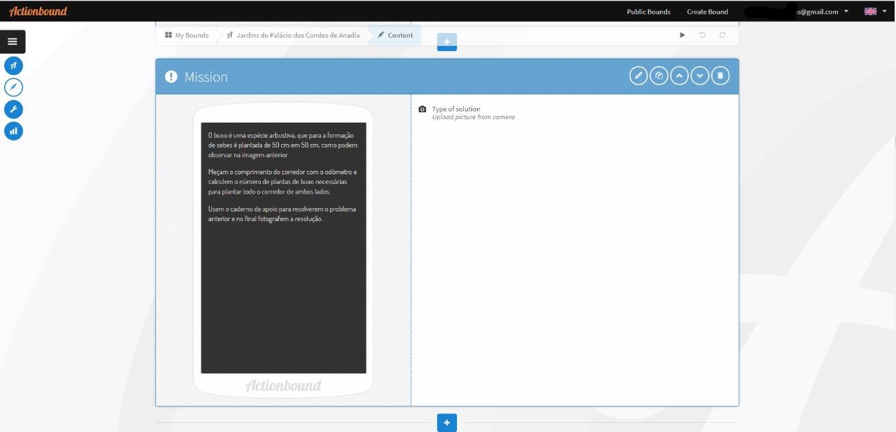
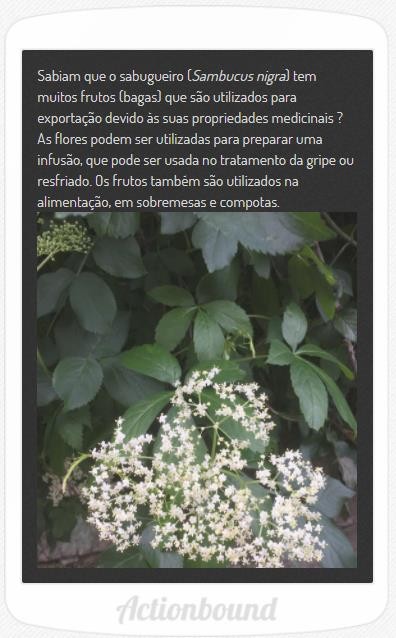
The student guide for this activity relates to the game created using the Actionbound application. As an example, only the first 3 scenarios that students see when scanning the QR Code with the Actionbound app are presented. To access the developed game, simply scan the QR Code.